Slow Warming Trend Begins Today, Tracking Midweek Rain Chances
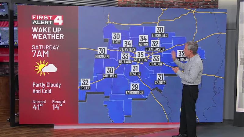
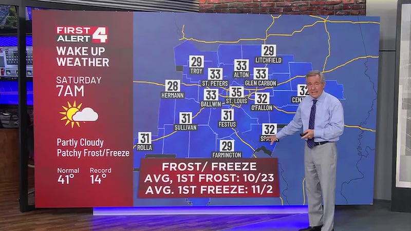
- Another Frost or Freeze Early This Morning
- Warmer This Afternoon, Highs in the Low-Mid 60s
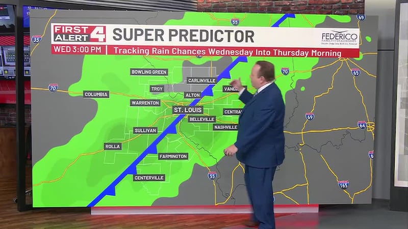
- Next Rain Chance Arrives Wednesday
Download the Free First Alert Weather App Here .
Today: Temperatures warm nicely under sunny skies. We expect highs in the low to mid 60s this afternoon with a west wind around 10 MPH.
Monday & Tuesday: A slow warming trend will push highs into the mid 60s Monday and upper 60s Tuesday. Overnight lows will moderate a bit as well with no frost or freeze conditions expected.
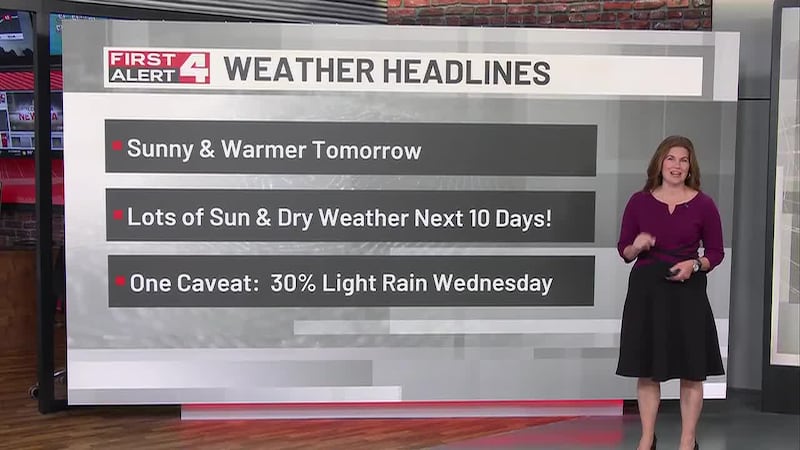
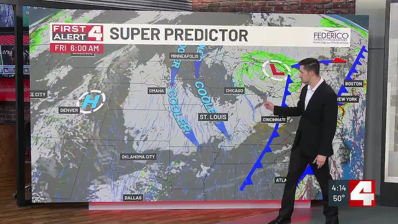
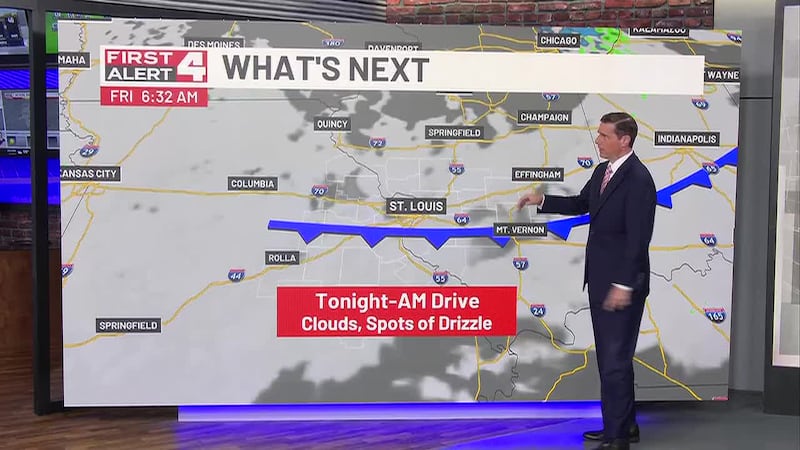
Mid-Week Rain Chances: A cold front will push through our region Wednesday, bringing a chance of rain along with it. A few sprinkles could linger into Thursday morning. There is still some uncertainty when it comes to how much rain we’ll see, but even the highest projections are below a half inch at this point. We’ll continue to update this part of the forecast in the days ahead.
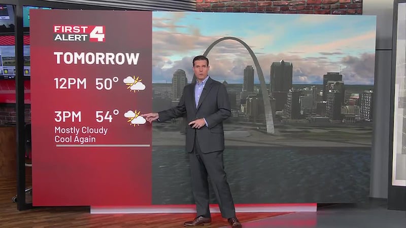
A Shot of Colder Air: Behind Wednesday’s cold front, much cooler air will settle in across Missouri and Illinois for Thursday and Friday. As of now, we’re thinking highs will be near 50 with frosty overnight lows near 30.

Copyright 2026 KMOV. All rights reserved.